How Harlem Township, Delaware County began
Harlem Township organized in September 1810 out of Sunbury Township territory, after a Franklin County sheriff's sale put its first 4,000 acres into the hands of Benjamin Cook in 1807. It was named, both nineteenth-century county histories agree, for the Harlem section of New York City, itself named by Dutch colonists for Haarlem in the Netherlands. Settled by families from Pennsylvania's Wyoming Valley, Connecticut and Vermont, the township remained thoroughly agricultural through the nineteenth century, with two small villages, Centerville and Harlem, laid out in 1848 and 1849. It remains a farming township today, its zip codes reaching into Galena, Johnstown and the Big Walnut/Hoover Reservoir area on Delaware County's southeastern edge.
Settled 1807, incorporated 1810-09, by organized from Sunbury Township territory after Benjamin Cook's 1807 purchase of the township's first surveyed section at a sheriff's sale.
Where the name comes from
The 1908 county history says Harlem Township 'was named for that portion of New York City known as Harlem, which was given that name by the early Dutch settlers of that region in honor of a prosperous city of that name in their native land' — Haarlem, in the Netherlands. The 1880 county history agrees in substance, calling Harlem 'the name of an opulent city in the Netherlands, in Europe, of great antiquity.'
Before the town
Benjamin Cook, the township's first permanent settler, bought 4,000 acres at a sheriff's sale in 1807 after disguising himself as a beggar so rival bidders would not take his bid seriously. When he moved onto the claim there was not yet a cabin built, and 'until one was built, his family occupied an Indian shanty' — the one site-specific Native trace recorded for Harlem Township in the sources consulted, though neither county history says which nation had built or last used it, or when. No mound, village or trail within the township's own boundaries is named in the sources opened. Harlem's land, surveyed as United States Military District lands, was opened to settlement by the 1795 Treaty of Greenville, in which the Wyandot, Shawnee, Lenape (Delaware), Miami, Ottawa and other nations ceded most of Ohio to the United States. For the county's broader documented Native history, including a Wyandot missionary connection recorded in neighboring Kingston Township, see the county file.
Nations recorded here: Wyandot, Shawnee, Lenape (Delaware), Miami, Ottawa.
- Indian shanty occupied by the Benjamin Cook family (camp) — Benjamin Cook's claim, Harlem Township, 1807 (ohiogenealogyexpress.com)
Timeline
- — The Treaty of Greenville cedes most of what becomes Ohio, including the future Harlem Township, to the United States.
- — A man named Duncan buys Section 3 of the township from the government but fails to pay, forfeiting the land.
- — The Franklin County sheriff auctions the forfeited 4,000-acre tract; Benjamin Cook, disguised in rags to avoid attracting rival bidders, wins it at forty-two cents an acre and becomes the township's first settler, his family living in an Indian shanty until a cabin was built.
- — Calvin Tracy Cook, born to Benjamin Cook's family, becomes the first white child born in Harlem Township; he dies in 1831. Stephen Thompson, a Revolutionary War drum-major and squatter, also settles this year.
- — Rev. Daniel Bennett settles near the township's center, and brothers Elijah and John Adams arrive from Pennsylvania.
- — William Fancher, a Revolutionary War veteran, settles roughly 1,000 acres in the township's southern part with his family, and John Budd's family settles several hundred acres on Duncan Run.
- — Harlem Township organizes in September out of territory that had belonged to Sunbury Township.
- — Centerville is laid out at the township's center by Edward Hartrain and Ben Roberts.
- — Harlem Village is laid out by Amos Washburn and James Budd.
- — Elijah B. Adams, a Harlem Township native, Ohio Wesleyan graduate and wounded Civil War veteran, is elected Delaware County recorder; he is re-elected in 1875.
Stories
The Beggar Who Bought a Township's Best Land
Benjamin Cook came to Ohio from Connecticut by way of Granville, and when he learned that 4,000 forfeited acres in what would become Harlem Township were about to be auctioned by the Franklin County sheriff, he prepared carefully — but not by dressing well. Knowing the terms were cash in hand, and that carrying that much money among strangers was dangerous, Cook hid his funds beneath old, patched clothes, let his beard grow long, and put on a dirty shirt, presenting himself as a beggar. Rival bidders, assuming his bidding was a joke he could never make good on, dropped out one by one, and Cook won the entire tract for forty-two cents an acre. He kept 500 acres for himself, sold the rest to Colonel Moses Byxbe, and moved onto his new land by way of Berkshire Township — with no cabin yet standing, so that his family's first shelter in Harlem Township was an existing Indian shanty.
Named for a City Across the Sea
Harlem Township's name traveled a long road before it reached Delaware County. Dutch colonists in seventeenth-century New Amsterdam named their settlement at the north end of Manhattan Island after Haarlem, an old and prosperous city in the Netherlands; that neighborhood became New York City's Harlem. When Ohio surveyors and settlers organized this Delaware County township in 1810, they borrowed the New York name rather than the Dutch original, so that a farming township of oak ridges and Duncan Run stone quarries carries, at two removes, the name of a medieval Dutch city its settlers likely never saw.
Soldier, Preacher, Squatter
The families who filled in Harlem Township's population in its first decade came by very different roads. Stephen Thompson arrived in 1808 as a squatter with no clear title to his land, but he had served as a drum-major in the Revolutionary War after his family fled Ireland before it began. Rev. Daniel Bennett, who settled near the township's center in 1809, was a local preacher who 'led an exemplary life,' according to the county history. William Fancher, who brought his large family from Luzerne County, Pennsylvania in 1810, was a Revolutionary War veteran whose own sons went on to serve in the War of 1812. Within a few years, Harlem Township held Revolutionary veterans, an itinerant preacher's family, and squatters with no papers at all, farming the same black loam soil.
Photographs
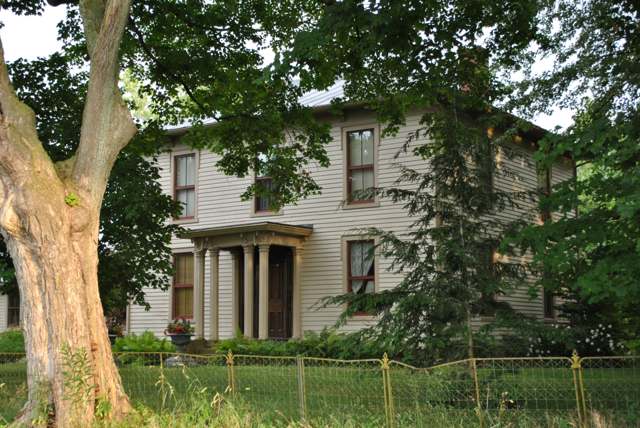
Photo: Wdzinc, via Wikimedia Commons, CC BY-SA 3.0 · Wikimedia Commons
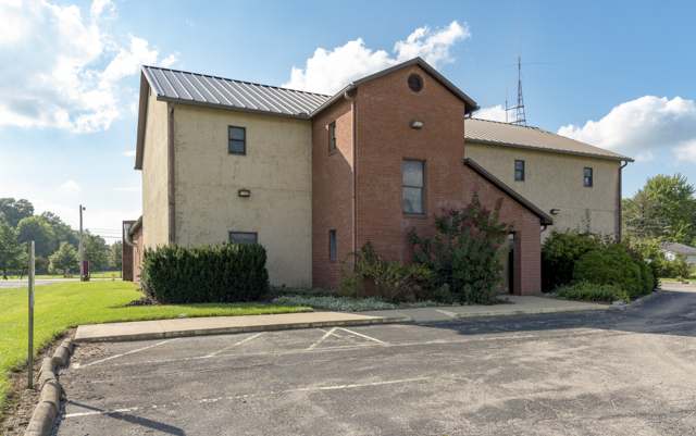
Photo: Sixflashphoto, via Wikimedia Commons, CC BY-SA 4.0 · Wikimedia Commons
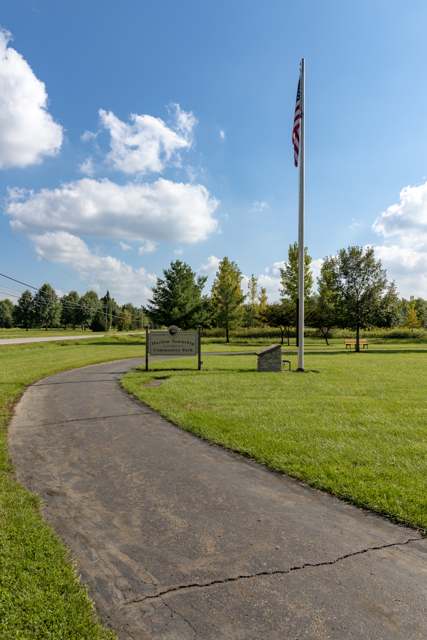
Photo: Sixflashphoto, via Wikimedia Commons, CC BY-SA 4.0 · Wikimedia Commons
Local history sources: ohiogenealogyexpress.com · archive.org · en.wikipedia.org · en.wikipedia.org · en.wikipedia.org · commons.wikimedia.org · commons.wikimedia.org · commons.wikimedia.org
Water
Alum Creek Reservoir intake at the Scott plant, Lewis Center Rd at Africa, Orange Township The water here
- Del-co Water Company, Inc.83% of residentsOlentangy River, O'Shaughnessy and Alum Creek reservoirs, plus Knox County wells
- Westerville City12% of residentsAlum Creek + wells
- Johnstown City4% of residentsGroundwater wells (3 wells)
- Columbus Public Water System1% of residentsScioto River (Griggs & O'Shaughnessy), Hoover Reservoir on Big Walnut Ck, plus wells
- Green Meadows MHP0% of residentsGroundwater wells (2 wells)
Its ZIP codes
Each ZIP code that touches Harlem Township, Delaware County, with the share of its residents who live here and the same headline figures as the ZIP page.
| ZIP | Share | Water | Radon | Home value | Schools | Flood |
|---|---|---|---|---|---|---|
| 43021 Genoa Township and Galena | 13% | Alum Creek Reservoir intake at the Scott plant, Lewis Center Rd at Africa, Orange Township | 6.2 pCi/L average radon | Parcel list only | Olentangy Local · 5 stars overall | 1.6% of residents in the 1% floodplain |
| 43082 Genoa Township and Westerville | 5% | Alum Creek Reservoir intake at the Scott plant, Lewis Center Rd at Africa, Orange Township | 6.0 pCi/L average radon | Parcel list only | Westerville City · 3.5 stars overall | 0.5% of residents in the 1% floodplain |
| 43031 Johnstown | 3% | Mostly private wells | 5.7 pCi/L average radon | Median year built 1991 | Johnstown-Monroe Local · 3.5 stars overall | 0.2% of residents in the 1% floodplain |
| 43074 Sunbury | 2% | Alum Creek Reservoir intake at the Scott plant, Lewis Center Rd at Africa, Orange Township | 5.3 pCi/L average radon | Parcel list only | Big Walnut Local · 4 stars overall | 2.9% of residents in the 1% floodplain |
The county
Delaware County: 11 ZIP codes, 26 cities, villages and townships, 214,126 people.
Nearby places
Cite this page
Cite this page as:
Cracked Buckeye (Open Shower Co), "Harlem Township, Delaware County", https://crackedbuckeye.com/place/harlem-township-delaware-county/, built 2026-09-16, accessed [date].
Machine-readable: /api/place/harlem-township-delaware-county.json (open JSON, CC BY 4.0 for the compilation; the underlying records keep their own terms) · How to cite · Report a correction · Built 2026-09-16