How Scioto Township, Delaware County began
Scioto Township, on Delaware County's western edge along the Scioto River, was established by petition on December 7, 1814 and takes its name from the river itself, which the 1908 county history calls 'a corruption of the Indian name Scionto, applied to the river by the Wyandots.' Welsh immigrant Richard Hoskins settled at the mouth of Boke's Creek in 1806, one of the township's first arrivals, and early settlers relied on the resident Wyandot for knowledge of salt licks, river fords and game before the tribe's removal from Ohio. The railroad-era village of Ostrander, platted in 1852 and named for a surveying engineer, eclipsed the earlier settlement of Edinburg (Fairview) and remains the township's principal community today.
Settled 1806, incorporated 1814-12-07, by petition granted by the Delaware County commissioners.
Where the name comes from
Named for the Scioto River, itself, per the 1908 county history, 'a corruption of the Indian name Scionto, which was applied to the river by the Wyandots.'
Before the town
Scioto Township's own chapters in both the 1880 and 1908 county histories describe the Wyandot directly and specifically. Boke's Creek, the township's principal tributary stream, 'was named for a Wyandot chief,' per the 1908 history. The 1880 county history adds that when white settlers first arrived, 'they found the Indians friendly, and gained from them information which in those days was very valuable, namely, the location of the Salt Licks, the fords in the river, and the haunts of the water-fowl and deer'; the same source recalls that early travel through the region followed routes laid out 'over Indian trails.' Writing in 1880, the county historian noted that the Wyandot had by then been removed from Ohio entirely, following the 1795 Treaty of Greenville land cession and the further nineteenth-century treaties that culminated in the Wyandot's 1843 removal from their Upper Sandusky reservation, the last Native nation to leave the state as a body. No specific village, mound or burial site within Scioto Township itself is named in the sources consulted; for the county's other documented Native sites see the county file.
Nations recorded here: Wyandot.
- Boke's Creek (other) — flows south-southeast through the northern part of Scioto Township into the Scioto River, named for a Wyandot chief before white settlement (ohiogenealogyexpress.com)
Timeline
- — The Treaty of Greenville cedes most of what becomes Ohio, including the future Scioto Township, to the United States.
- — Richard Hoskins, his wife and seven children arrive from Wales by packet ship in December, reaching Franklinton before continuing north the next spring.
- — In May, Richard Hoskins's family settles at the mouth of Boke's Creek on the old Sandusky Military Road; Zachariah Stephens settles nearby around the same time and completes the township's first cabin.
- — Hugh Stephens, son of Zachariah Stephens, becomes the first white child born in Scioto Township.
- — Zachariah Williams dies, the township's first recorded death, and is buried in the old cemetery on Boke's Creek.
- — The county commissioners grant a petition establishing Scioto Township on December 7, initially covering all land west of the Scioto River previously part of Radnor Township.
- — The township's boundaries are definitively fixed, running from Dilsaver's Ford on the Scioto River west to the Union County line and south to Mill Creek.
- — I. C. Buck lays out the village of Ostrander with 104 lots, named for the engineer who surveyed the new railroad line; the older settlement of Edinburg (formerly Fairview) declines once the railroad bypasses it.
- — Ostrander incorporates on May 18; its first council meets the following April with D. G. Cratty as mayor.
- — The village long known as Millville is renamed Warrensburg on August 26, when a post office is established there.
Stories
What the Wyandot Taught the Settlers
When Richard Hoskins and the small band of families who followed him reached the mouth of Boke's Creek in the first decade of the 1800s, they were not moving into unknown wilderness. The Wyandot who lived and hunted along the Scioto River were, by the 1880 county history's account, friendly toward the new arrivals and shared knowledge that made frontier survival possible: where to find the salt licks essential for preserving meat and curing hides, where the river could be safely forded, and where deer and waterfowl could reliably be found. Boke's Creek itself carries the name of a Wyandot chief. Settlers reached the township at all mostly by following existing Indian trails, since no roads yet existed into the Northwest Territory beyond paths cut to supply the frontier forts. By the time the county history was written in 1880, its author noted flatly that the Wyandot were gone from Ohio, a people it described only as having vanished west — a stark measure of how completely the 1795 Treaty of Greenville and the treaties that followed it had displaced the very people whose knowledge had made settlement possible.
A Village Named for an Engineer
Before Ostrander existed, the township's first platted village was called Fairview and then Edinburg, laid out on a scenic rise north of where Ostrander now stands. For a time it grew slowly but steadily, and its founders expected it to become an important town. Everything changed when a new railroad was surveyed through a different part of the township: I. C. Buck platted 104 lots in 1852 on the line the engineers had chosen, and named the new village Ostrander after the man who had surveyed it. Edinburg's growth stalled and eventually reversed; by the time the 1908 county history was written, the once-promising village survived only as 'a few houses in the neighborhood where the Gabriels live,' while Ostrander incorporated in 1875 and became the township's lasting commercial center.
The Burned Pond
In the western part of the township, on land later farmed by John W. Eddleblute and Acel Larcum, there once stood a substantial pond and surrounding swampland. Settlers drained it to make the ground farmable, but that left a tangle of dead vegetation to clear. Their solution was fire: they set the drained swamp alight, and it burned for so long, and so persistently, that it took a considerable time to fully extinguish. The road running north and south past the site took on a new name from the episode, the Burned Pond Pike, and the land it named proved, once cleared, to be among the richest farmland in the township.
Photographs
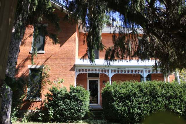
Photo: Delawareohiohistory, via Wikimedia Commons, CC BY-SA 3.0 · Wikimedia Commons
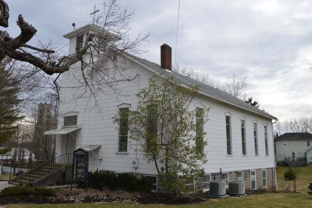
Photo: Nyttend, public domain · Wikimedia Commons
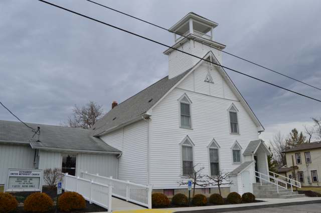
Photo: Nyttend, public domain · Wikimedia Commons
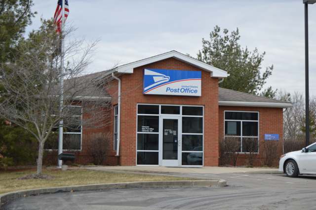
Photo: Nyttend, public domain · Wikimedia Commons
Local history sources: ohiogenealogyexpress.com · archive.org · en.wikipedia.org · en.wikipedia.org · en.wikipedia.org · commons.wikimedia.org · commons.wikimedia.org · commons.wikimedia.org · commons.wikimedia.org
Water
Olentangy River intake at Del-Co's plant on Olentangy River Rd, Liberty Twp, south of the city of Delaware The water here
- Del-co Water Company, Inc.100% of residentsOlentangy River, O'Shaughnessy and Alum Creek reservoirs, plus Knox County wells
Its ZIP codes
Each ZIP code that touches Scioto Township, Delaware County, with the share of its residents who live here and the same headline figures as the ZIP page.
| ZIP | Share | Water | Radon | Home value | Schools | Flood |
|---|---|---|---|---|---|---|
| 43061 Scioto Township and Ostrander | 49% | Olentangy River intake at Del-Co's plant on Olentangy River Rd, Liberty Twp, south of the city of Delaware | 6.6 pCi/L average radon | Parcel list only | Buckeye Valley Local · 5 stars overall | 2.8% of residents in the 1% floodplain |
The county
Delaware County: 11 ZIP codes, 26 cities, villages and townships, 214,126 people.
Nearby places
Cite this page
Cite this page as:
Cracked Buckeye (Open Shower Co), "Scioto Township, Delaware County", https://crackedbuckeye.com/place/scioto-township-delaware-county/, built 2026-09-16, accessed [date].
Machine-readable: /api/place/scioto-township-delaware-county.json (open JSON, CC BY 4.0 for the compilation; the underlying records keep their own terms) · How to cite · Report a correction · Built 2026-09-16