Plays from YouTube when you press play.
Deep dives · 2026-09-28
The valley under Alum Creek Lake: Africa, Ohio and the Underground Railroad
Before Alum Creek Dam (1970-74) flooded 3,387 acres of Delaware County, Ohio, the valley held farms, eight prehistoric mounds, the site of Fort Cheshire (War of 1812), and Africa, Ohio, an Underground Railroad community named in mockery by a pro-slavery neighbor. 1955 vs 1995 USGS maps, an 1866 county atlas, and 1966/1973 aerials. Did your family know the valley?
Maps and aerials: USGS Galena topos 1955/1995 and aerials 1966/1973; Beers 1866 Atlas of Delaware County via Wikimedia Commons; OGRIP Ohio Statewide Imagery Program. Photos: U.S. Army Corps of Engineers; Yinan Chen via Wikimedia Commons; Africa Community marker by Sixflashphoto, CC BY-SA 4.0, via Wikimedia Commons.
Watch on YouTube. Follow us on YouTube, TikTok, Facebook, Instagram.
More videos
 What Ohio lost, and what came back: 200 years of wildlife
 Amlin, Ohio: the railroad village Dublin grew around
 The Kahiki: Columbus's lost tiki palace (1961-2000)
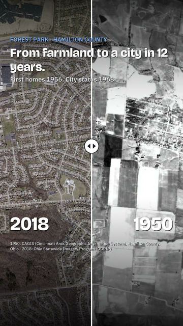 Watch Forest Park, Ohio get built: 1950 to today
 New Burlington: the Ohio village the government bought and tore down
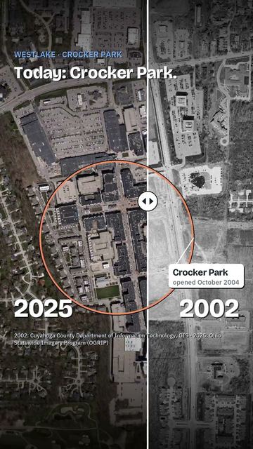 Crocker Park in 1993 was fields and woods
Cite this page
Cite this page as:
Cracked Buckeye, "The valley under Alum Creek Lake: Africa, Ohio and the Underground Railroad", https://crackedbuckeye.com/videos/alum-creek-lake/, built 2026-09-29, accessed [date].
How to cite · Report a correction · Built 2026-09-29