Plays from YouTube when you press play.
Maps of Ohio · 2026-09-26
Where Ohio's tap water comes from, ZIP by ZIP
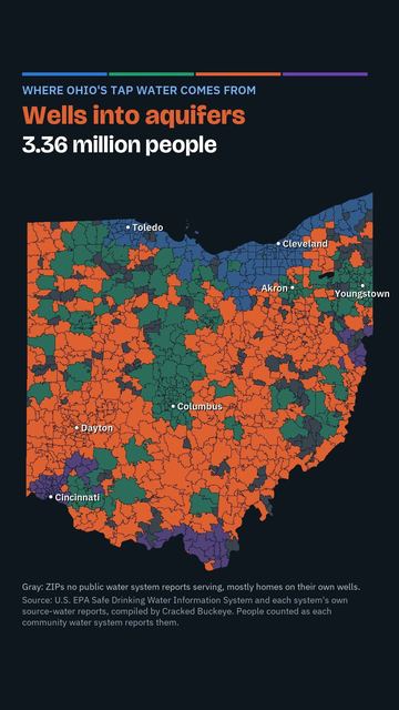
Where Ohio's tap water comes from, ZIP by ZIP. About 3.36 million people drink water pumped from wells into aquifers, 3.35 million drink from rivers and reservoirs, 2.73 million from Lake Erie and 1.02 million from the Ohio River. The gray ZIPs are places no public water system reports serving, mostly homes on their own wells.
Which one is yours? Were you surprised?
Tap water is one of dozens of things Cracked Buckeye maps for every Ohio ZIP code: radon, schools, housing, broadband, hospitals, history and more.
Source: U.S. EPA Safe Drinking Water Information System (SDWIS) and each system's own source-water reports, compiled by Cracked Buckeye; people counted as each community water system reports them.
Watch on YouTube. Follow us on YouTube, TikTok, Facebook, Instagram.
More videos
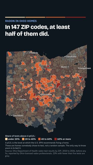 About 1 in 3 Ohio radon tests come back high. Map by ZIP
 What Ohio lost, and what came back: 200 years of wildlife
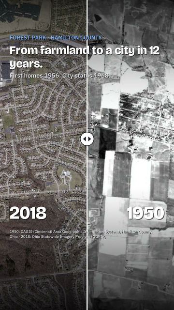 Watch Forest Park, Ohio get built: 1950 to today
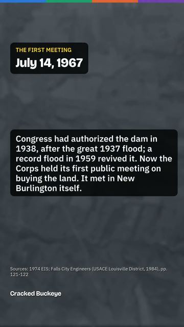 New Burlington: the Ohio village the government bought and tore down
 Amlin, Ohio: the railroad village Dublin grew around
 The valley under Alum Creek Lake: Africa, Ohio and the Underground Railroad
Cite this page
Cite this page as:
Cracked Buckeye, "Where Ohio's tap water comes from, ZIP by ZIP", https://crackedbuckeye.com/videos/water-sources/, built 2026-09-29, accessed [date].
How to cite · Report a correction · Built 2026-09-29