Plays from YouTube when you press play.
Maps of Ohio · 2026-10-02
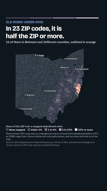
677 square miles of Ohio sit over old mines. Map by ZIP
About 677 square miles of Ohio (433,375 acres) sit over underground coal and mineral mines that were abandoned before 1977, as the Ohio Department of Natural Resources maps them: in 264 ZIP codes across 38 counties. In 23 ZIP codes, mines lie under half the ZIP or more, 16 of them in Belmont and Jefferson counties. Some outlines are only partly known, and not every old mine is on the map.
Is there a mine under your town? Did you know it was there?
Subscribe to @crackedbuckeye for more on all things Ohio.
Source: Ohio Department of Natural Resources, Mines of Ohio (abandoned underground mines), laid over ZIP code areas by Cracked Buckeye.
Watch on YouTube. Follow us on YouTube, TikTok, Facebook, Instagram.
More videos
 Where Ohio's tap water comes from, ZIP by ZIP
 About 1 in 3 Ohio radon tests come back high. Map by ZIP
 Big Muskie: The Biggest Machine That Ever Walked Ohio (and What Killed It)
 Siamese: None. The Story of Asian Ohio
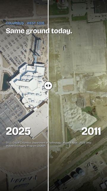 The Columbus casino that used to be a GM plant
 Ohio Senate Attack Ads, Fact-Checked: Part 2 (Husted vs. Brown)
Cite this page
Cite this page as:
Cracked Buckeye, "677 square miles of Ohio sit over old mines. Map by ZIP", https://crackedbuckeye.com/videos/abandoned-mines/, built 2026-10-04, accessed [date].
How to cite · Report a correction · Built 2026-10-04